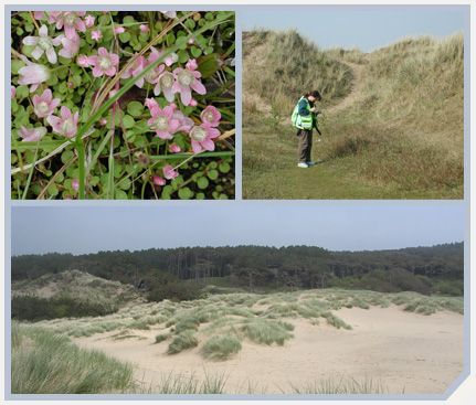
The Sefton Dunes are an internationally important conservation area. A consortium headed by Sefton Council and Natural England commissioned TEP to undertake an NVC survey of the dune habitats and produce an interactive GIS package to allow the present condition of the dunes to be compared with historic studies.
GPS field computers were used to record and map data which was then downloaded into a Geographical Information System. Thousands of polygons were digitised and assigned to NVC community types, using a combination of field identification and analysis of samples using TABLEFIT.
The project won the Landscape Institute Science Award.