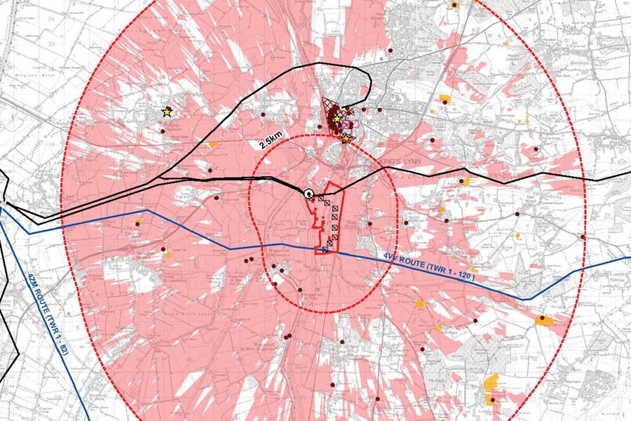
We use Geographic Information Systems (GIS) to describe our world in terms of its spatial relationships, patterns and trends. This applies as much to our social and built environment as it does to the natural environment for which GIS was first developed. GIS Mapping and Analysis is an enormously powerful tool, which can provide insight and clarity to the world around us. GIS can be used for strategic assessments, identifying priorities and needs within an area, helping decision-makers and focusing investment. Maps are also a vital visual aid in community and stakeholder engagement.
TEP has always sought to develop innovative mapping and GIS solutions for clients on a range of projects including Green Infrastructure, Risk Management, Land Audits, Water Safety Assessments and Green Space Assessments. TEP has a large and dedicated GIS Team with experience and expertise using ArcGIS, QGIS, MapInfo, Postgres, PostGIS and Open Source data sources to analyse and illustrate environmental, social and economic data and trends. GIS is utilised throughout our services and projects, providing a powerful tool for map production, spatial analysis, web mapping, integrated management systems and mobile field data capture.


