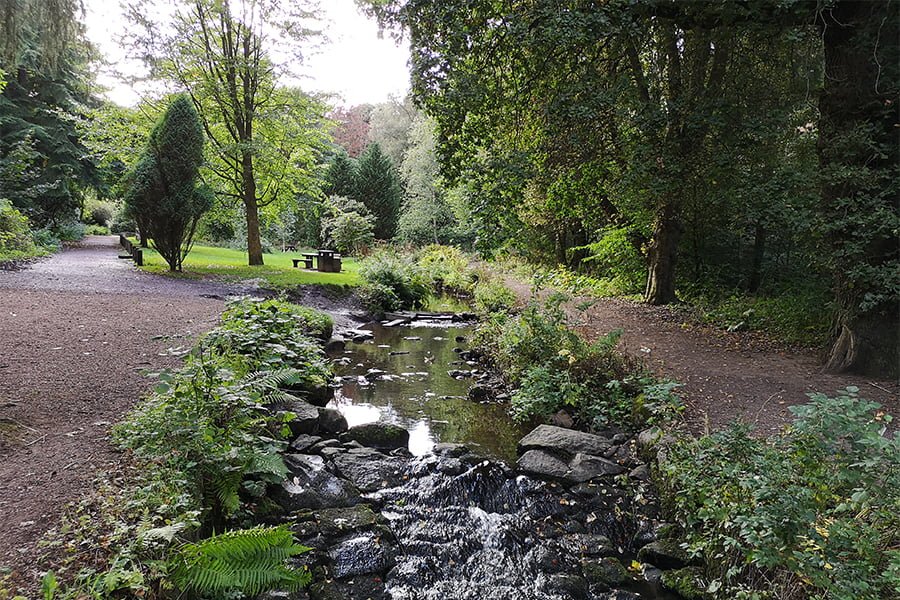
TEP and the River Restoration Centre collaborated in a river restoration study for the Back Burn, in Fife. Classed as a “Heavily Modified Waterbody”, the Back Burn required restoration under the Water Framework Directive. Even though, the Burn runs through scenic countryside and urban fringes of Glenrothes.
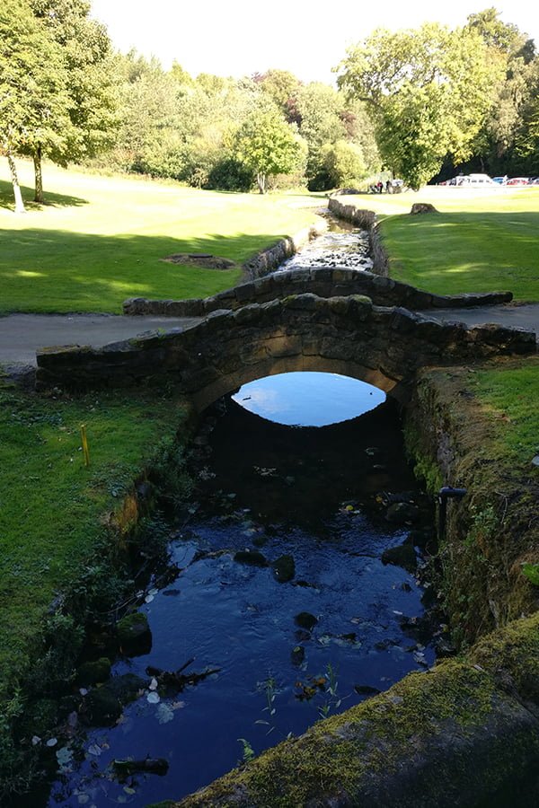
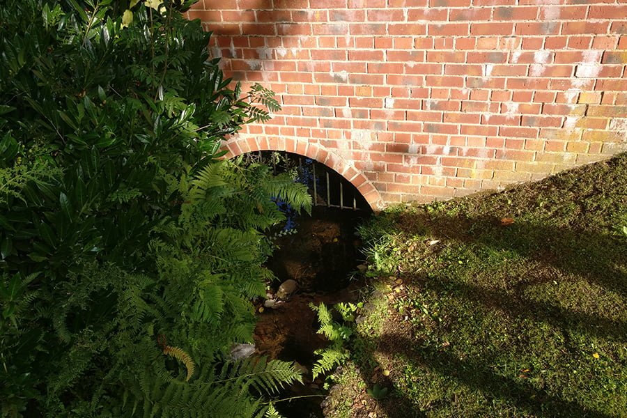
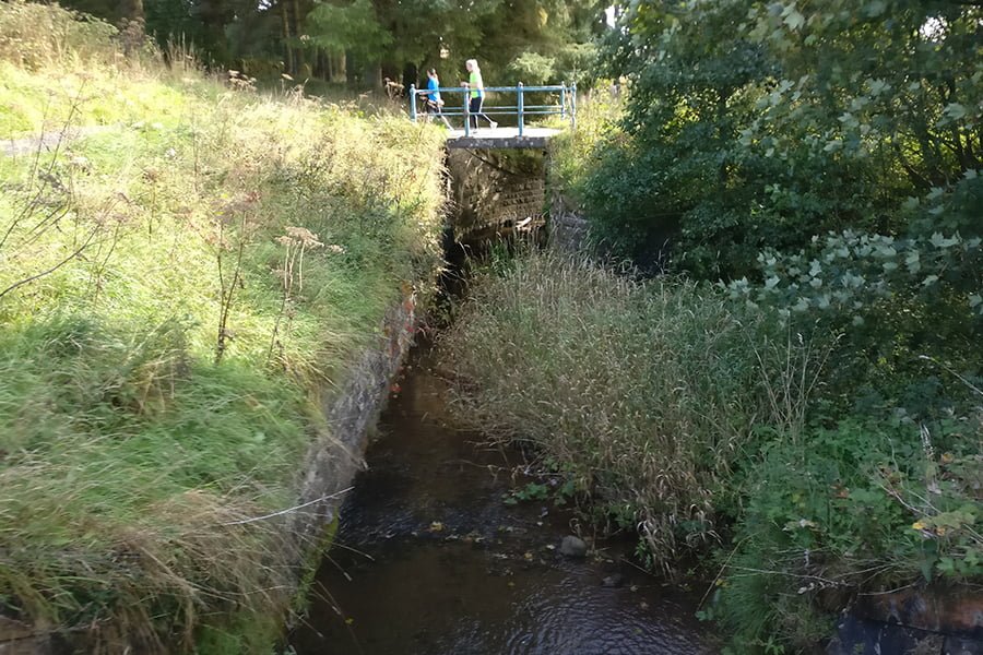
The section of Burn is about 7km and has been subject to culverting and diversion. This is a result of channel habitat loss and disconnection from the floodplain. Much of the Burn has reinforced banks. Along with over 20 weirs, this means that there are many barriers to fish migration.
The aim of the project was to prepare a holistic river restoration plan. This considered aquatic and terrestrial ecology, access improvements, greenspace and community projects. As well as how to enhance ecosystem services. Driven by the need to achieve “Good Ecological Potential”. The clients’ other objectives were to bring biodiversity and community benefits to Glenrothes.
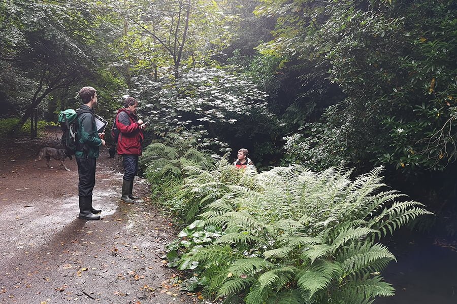
Our first steps were to define seven distinct reaches and carry out hydrogeomorphological studies. This was to assess the degree of bank and channel modification and identify and map barriers to fish movement. This included mapping constraints such as utilities, urban infrastructure, and features of high ecological or amenity interest. Five of the seven reaches were identified as “upgrade” reaches, while 2 were so severely constrained that full upgrade to GEP was not feasible at reasonable cost.
We prepared a costed options plan, listing multiple benefits to allow the client (Scottish Environment Protection Agency and Fife Council) to make an options appraisal and determine the most appropriate restoration plan. For example, the creation of a reservoir and a bypass channel to serve a now-closed whisky distillery, fragmented the natural course of the Burn. Therefore, recommending the restoration of a paleo-channel and creation of a step-pool sequence at Coul Den, was one of the options.
We also carried out a phase 1 habitat survey of the Back Burn corridor, mapping habitats that could contribute to Fife’s Local Biodiversity Action Plan priorities. We prepared a costed project list, identifying which ecosystem services would be enhanced.
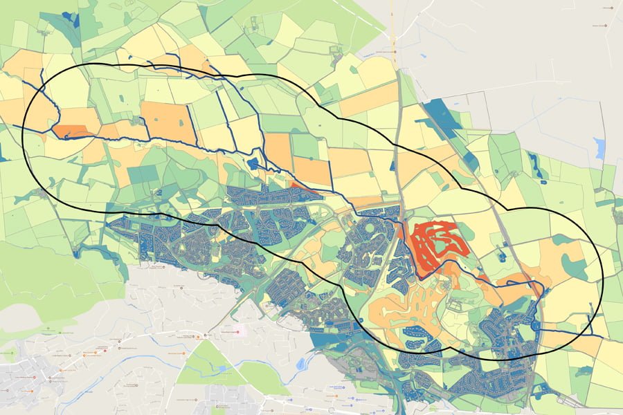
A novel innovation was our “Ecosystem Services Opportunity Map” which is available as an interactive webmap. Each land parcel is scored in terms of whether it could be managed to increase ecosystem functioning in relation to the following services: water quality, leisure and recreation, biodiversity, carbon sequestration, flood risk management, air quality. A “heat-map” of the Back Burn corridor highlighted the parcels with the most potential for enhancement.
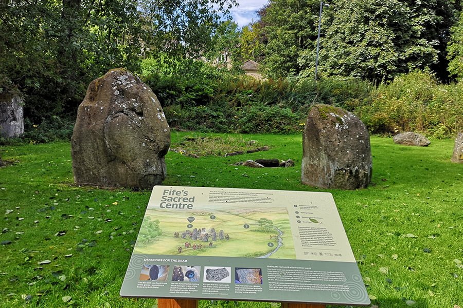
We also carried out a greenspace audit, using Green Flag criteria and a path quality survey. These assessments generated a costed project plan with measures for improving access, interpretation, and community engagement.
The Back Burn river restoration plan will lead to funding from SEPA’s Water Environment Fund. Who will be implementing the river restoration and greenspace improvement measures.


